Mike Edwards
My present series of artworks looks from a station point on the land but also includes the panoptic outlook of Google Earth. Artworks are simply drawn with graphite and chalk on multi layered Mylar.
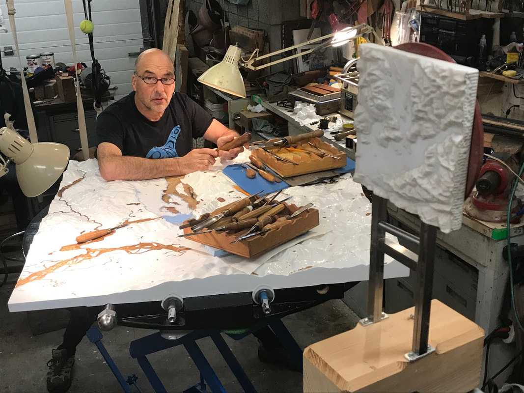
The digital part of this project manipulates GIS (geographic information systems) digital mapping information into digital models. The depth of the ocean and even the contours of the sea floor can be sculpted digitally in this way. The mechanical perspective of the Renaissance is an eye level view from a specific station point located in the City Square. The tiled floor was extended, diminishing to a vanishing point at the horizon and a modest point of view was born. But Leonardo imagined up and over the next hill, part map, part painting, surveying the world from one of his flying machines. Longitude and latitude facilitated colonization and our imagination went global. The vanishing point has now disappeared, perspective is reversed, and the colonization of space is digital. Google Earth now manifests unprecedented visions of the world and with reams of information to boot! The volume of this mapping loot brings to mind Jorge Luis Borges’ description of an unmanageable life-sized map of the empire. This unprecedented mass of data, perhaps, in fact is a further dimension. It is a challenge for any map or sculpture to translate such systems. My question is how do we sort through this huge mass to find differently relevant content, significant landmarks or important pathways. My artworks are simply drawn on translucent Mylar, layers of panoramas like vails of perception. At the same time 3-D printing and CNC milling technologies are used to translate mapping data into sculptures of mountains, clouds, the ocean and perhaps even the pathways of killer whales. The artwork hopes to connect the hand made to the digital to create a collaborative point of view. |
|
Current Project :
Collaborations with Rosa Quintana Lillo - Carbon Sink Art Project www.rosaquintanalillo.com
http://www.mikeedwardsart.com/index.html
